Noah Link — Geospatial Operations Platform
3D Geospatial Visualization · Satellite Operations · Mission Planning
Noah Link is an independently developed geospatial platform exploring the integration of satellite tracking, ground infrastructure, and mission-oriented spatial data within a unified operational interface.
Built around a React frontend, Python backend, and PostgreSQL database, the platform is being developed through a series of hands-on geospatial experiments using CesiumJS, real satellite orbital data, and interactive 3D mapping technologies.
The current work establishes the technical foundation for time-dependent geospatial visualization, orbital analysis, multi-source data integration, and immersive spatial interaction. Experiments span orbital, aerial, and ground-level perspectives, progressively informing the architecture, capabilities, and user experience of the envisioned platform.
Status: Active Development — Satellite data integration and orbital visualization operational. Ground operations and mission-planning capabilities remain under development.
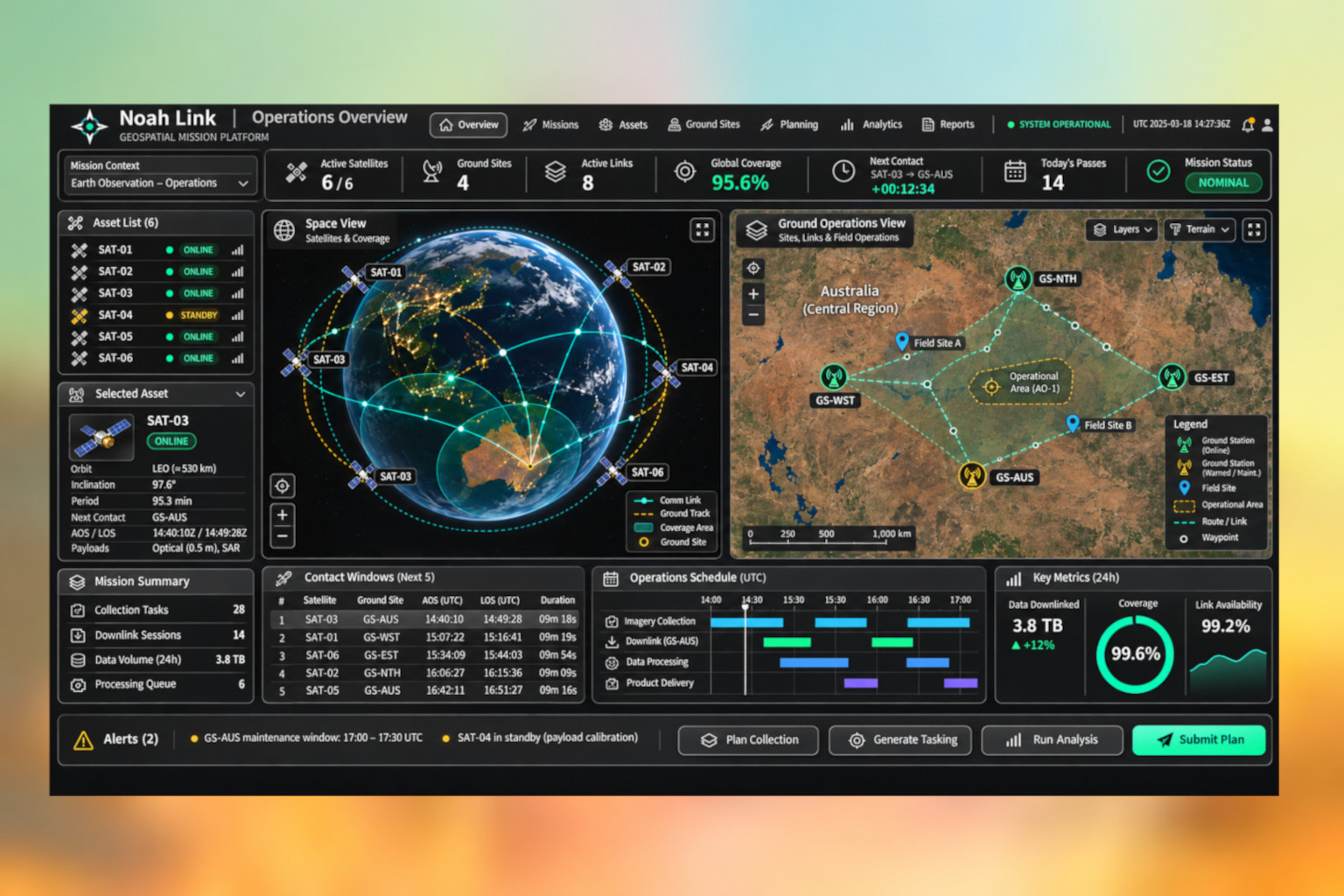
Concept Presentation: The accompanying image is an AI-generated design concept illustrating the intended direction of Noah Link's operational interface. It is not a screenshot of the current application. The final interface and capabilities will evolve from the working geospatial experiments documented in the Lab → Explore section.